The rain forest is so big, how do we measure deforestation?
Ways to Measure Deforestation
Field Plots
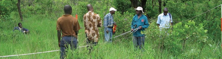
Image from fao.org/
|
Field surveys are conducted on different parts of the forest. These surveys are time consuming and ate labor intensive. They give a small picture of what is going on in a big area.These surveyors will check vegetation or (plant life) as well as animal life in a particular area of the forest.
|
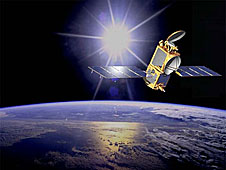
Satellites
Satellites are used to survey an area.
What is a satellite?
A satellite is an object that orbits or goes around an object. The earth is a satellite that orbits the sun. The moon is a satellite that orbits the earth. These are called "natural satellites". (www.nasa.gov)
The satellite we are talking about here are man made satellites, that are out in space circling the Earth for different purposes. Some satellite study the Earth, others study the planets and the universe.
.
|
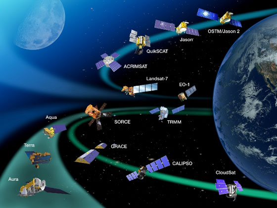
Satellites usually have cameras and a power source. Some satellites go around the curve of the Earth and some travel in a straight line. There are thousands of satellites. Some satellites help us make phone calls or get TV signals. NASA has about a dozen satellites for studying the oceans, land and atmosphere (nasa.gov).
Sometimes these satellite pictures may not be real clear because of cloud cover or smoke. Using a technology that will take you closer into the area would give a better picture about what is going on with the plant and animal species. |
|
Drones
|
Drones are used to survey forest.
What is a drone?
A drone is Websites with more great videos.
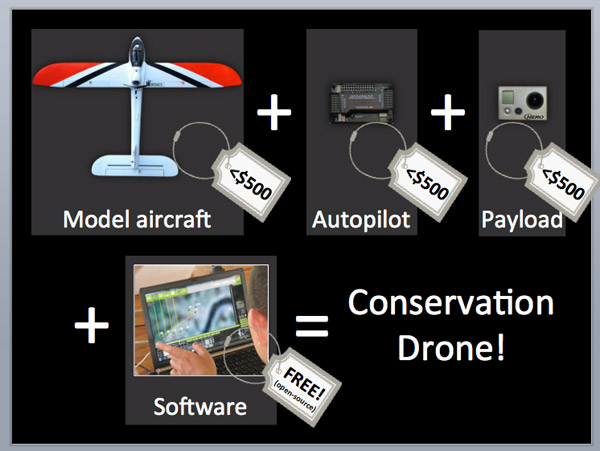
Image from ConservationDrones.org
|
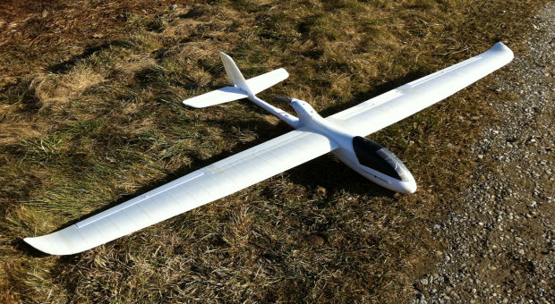
Image from ConservationDrones.org
A great video introducing drones. (13:31 minutes)
A video showing the building of a drone. (4 mins)
A video about the flight of a drone. (4 mins.)
|
Carnegie Airborne Observatory
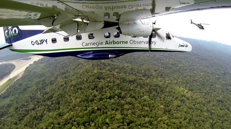
What is the Carnegie Airborne Observatory?
A new airborne imaging laser technology known as Li DAR. This Li DAR technology was tested using field plots and found to be quite accurate. . This technology would allow for more land assessments to be completed over a day’s time.
I
A new airborne imaging laser technology known as Li DAR. This Li DAR technology was tested using field plots and found to be quite accurate. . This technology would allow for more land assessments to be completed over a day’s time.
I
Take a flight with Greg Asner for about 10 minutes. (www.timesherald.com/)
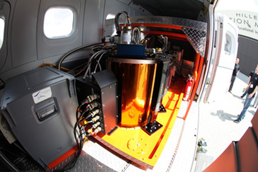
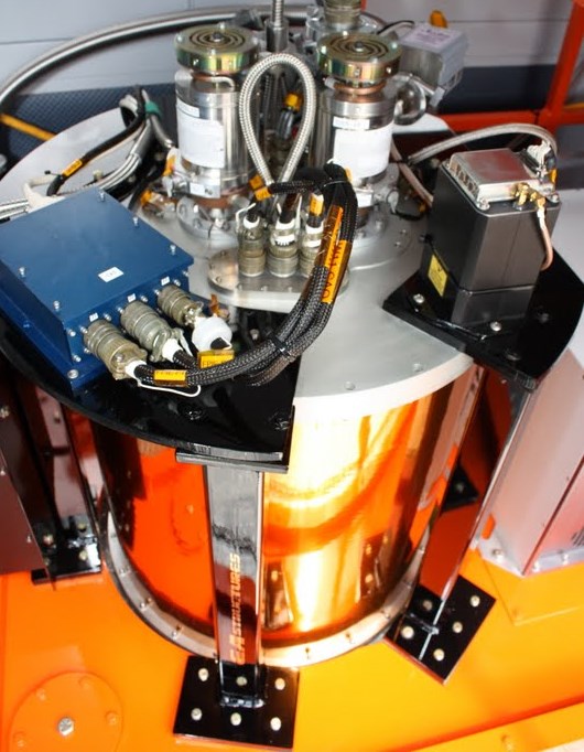
This airborne twin engine plane carries a system which combines two recent technologies of imaging:
(http://news.mongabay.com/2011/0603-cao_atoms.html)
- Spectroscope and
- Laser technology (LiDAR) are combined.
(http://news.mongabay.com/2011/0603-cao_atoms.html)
https://www.facebook.com/CarnegieAirborneObservatory?fref=photo
Greg Asner talks about his work with the Carnegie Airborne Observatory.
Follow The CAO on Facebookhttps://www.facebook.com/CarnegieAirborneObservatory?fref=photo
Follow The CAO on Facebookhttps://www.facebook.com/CarnegieAirborneObservatory?fref=photo
(About 14 minutes)
http://www.ted.com/talks/greg_asner_ecology_from_the_air#t-533954